Support group for the preservation and research of the Turmhoelzle ruins
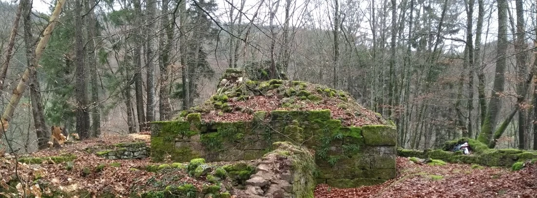
The aim of the support group "Förderkreis Ruine Turmhölzle e.V." is to research and conserve the Turmhoelzle ruins near Schopfheim-Raitbach and other castle ruins in the upper Wiesental valley,
- to document them,
- to conserve existing wall remains,
- to provide information for visitors and
- organise lectures and excursions.
The association was founded on 16.06.2024. Through private initiative, we want to stop the decay of the Turmhölzle ruins. Preservation will not be easy, but there are successful examples in South Baden that give us courage (e.g. the Wieladingen ruins). We would also like to research the Turmhölzle ruins as a remarkable example of a ministerial castle and make it better known and more accessible to the public.
At a later date, we would also like to work on the other castles in the upper Wiesental, which are also described on this homepage.
We need more collaborators and supporters for our preservation and research. Every contribution, every support, every co-operation is welcome.
 Mike1024, LIDAR-scanned-SICK-LMS-animation, marked as public domain, details at Wikimedia Commons


