


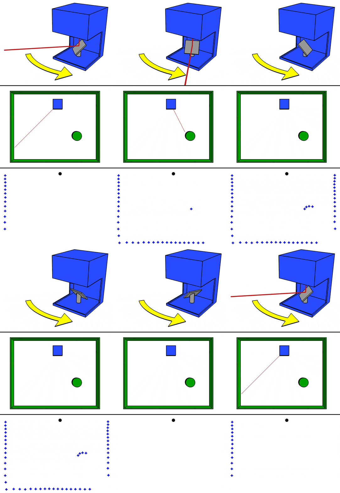
 Mike1024, LIDAR-scanned-SICK-LMS-animation, marked as public domain, details at Wikimedia Commons
Site plan created
The GPS survey of the castle ruins by the Schopfheim Town Museum was completed in February 2024. With this survey, a true-to-scale plan of the site is available for the first time.
This is the basis for further research into the ruins.
Lidar (abbreviation for light detection and ranging or light imaging, detection and ranging) is a method of optical distance measurement. It is a form of three-dimensional laser scanning.